LIDAR Magazine
Latest News
04.24.2024
LMU Munich Institute for Digital Cultural Heritage Studies Makes the Past Visible with RIEGL UAV-Based LiDAR
04.24.2024
Descartes Labs Government Launches Retina at GEOINT 2024
04.23.2024
Creaform Elevates Portable 3D Scanning Capabilities with Enhanced HandySCAN 3D
04.18.2024
Virtual Surveyor Adds Planimetric Survey Functionality to Latest Release of Smart Drone Surveying Software
04.17.2024
Contribution to Topo-Bathymetric Laser Scanning Honored with DGPF Prize
04.16.2024
Woolpert Implements Cityworks Online Asset Lifecycle Management Solution for Metroparks Toledo
04.15.2024
SimActive Integrated with Multi-Camera Systems for Precision Photogrammetry
04.14.2024
Woolpert Hires Market Director Kristi Norman
04.14.2024
The 59th Photogrammetric Week
04.11.2024
Woolpert Implements Rapid Ready Asset Lifecycle Management Solution for West County Wastewater
04.11.2024
New Diamond DA62 MPP SurveyStar for the RIEGL Test Aircraft Fleet
04.10.2024
Woolpert Hires Accomplished Business Development Leader William Marbell as Geospatial Program Director
04.09.2024
Creaform Introduces MetraSCAN BLACK+ and MetraSCAN BLACK+|Elite
04.08.2024
Space Flight Laboratory Confirms Successful Deployment of HawkEye 360 Microsatellite Clusters 8 and 9
04.08.2024
INTERGEO: Meeting Place for the Global Geospatial Community
04.05.2024
Live Workshop: Obliques for Mapping: Are They Really Useful?
04.03.2024
Bowman Enters into Definitive Agreement to Acquire Surdex Corporation
04.02.2024
Avineon Completes Acquisition of North Point Geographic Solutions
04.01.2024
UT Jackson School of Geosciences Takes Delivery of Leica Chiroptera Mark 5 Lidar System
03.27.2024
Revisions to the ASPRS Positional Accuracy Standards for Geospatial Data (2024) Seeking Public Comments
03.27.2024
Commercial UAV Expo Announces 2024 Advisory Board
03.27.2024
Woolpert Acquires Ireland-Based Murphy Geospatial, a Leading European Geospatial Solutions Firm
03.27.2024
Chung Hsing Surveying Company Brings Geospatial Data Acquisition to the Next Level with RIEGL Mobile LiDAR
Features
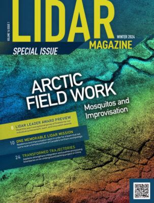
Latest Issue
Volume 14 Issue 1 // February 2024
Departments
From the Editor
Celebrating World Lidar Day
You may have picked up LIDAR Magazine at Geo Week, or you may be an existing subscriber. Or both. Thank you. In the…
Complete Coverage
The Quest For “Wall-to-Wall” Coverage for Hydrospatial Applications
The benefits of a “fly lidar first, fill-in with sonar” philosophy to obtain full bathymetry coverage Over the past few decades, airborne topographic…